MULTIMEDIA
Video: Annual Arctic Sea Ice Minimum 1979-2022 with Area Graph
Oct. 3, 2022
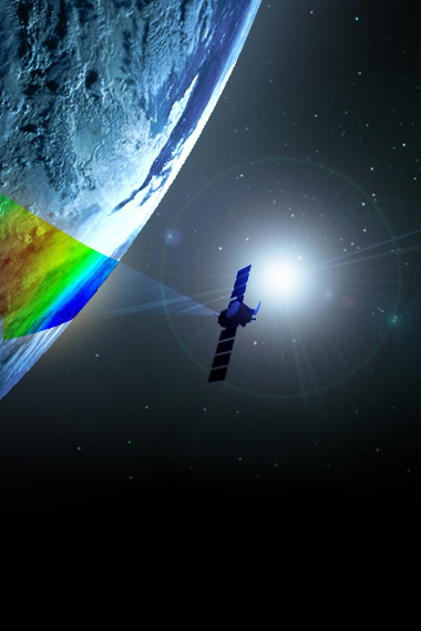
Satellites have provided a reliable tool for continuously monitoring changes in the Arctic ice since 1979. Every summer, the Arctic ice cap melts to what scientists call its "minimum" before colder weather begins to make ice cover increase.
This visualization shows the expanse of the annual minimum Arctic sea ice for each year from 1979 through 2022, with a graph overlay.
In 2022, Arctic minimum sea ice coverage tied for 10th-lowest on record, extending a long-term downward trend.
Credit
NASA/Goddard Space Flight Center's Scientific Visualization Studio.
The Blue Marble data is courtesy of Reto Stockli (NASA/GSFC).


.jpg?disposition=inline)




.jpg?disposition=inline)

