MULTIMEDIA
Video: 27-Year Sea Level Rise
March 15, 2021
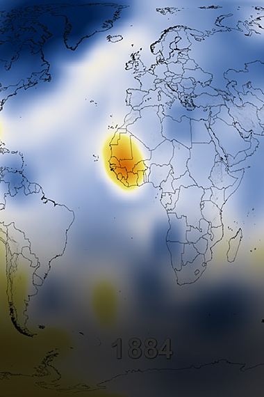
This visualization shows total sea level change between 1992 and 2019, based on data collected from the TOPEX/Poseidon, Jason-1, Jason-2, and Jason-3 satellites. Blue regions are where sea level has gone down, and orange/red regions are where sea level has gone up.
Since 1993, the ocean has risen about 102 millimeters (about 4 inches), which is like covering the U.S. in about 16 feet (about 5 meters) of water.
The color range for this visualization is -15 cm to +15 cm (-5.9 inches to +5.9 inches), though measured data extend above and below 15 cm (5.9 inches). This particular range was chosen to highlight variations in sea level change.


.jpg?disposition=inline)


