MULTIMEDIA
The sky's the limit
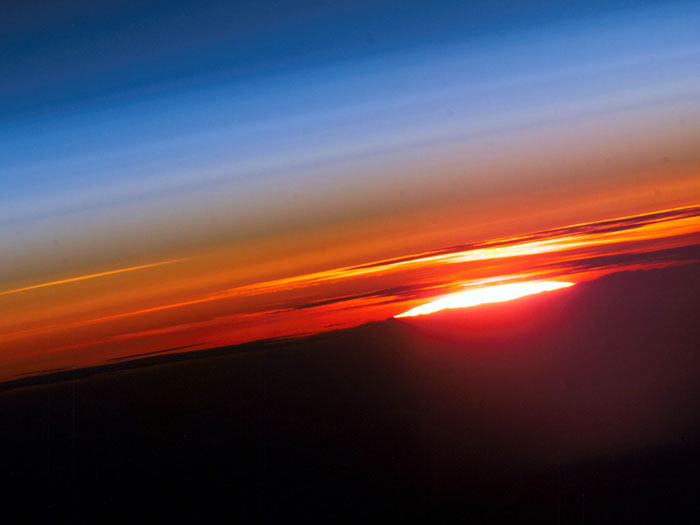
The beauty of Earth's atmosphere and the setting sun. Photo taken by an Expedition-15 crewmember on the International Space Station on June 3, 2007.
Credit
Image and caption courtesy of NASA Goddard Photo and Video photostream. Credit: NASA.