MULTIMEDIA
Byrd Glacier
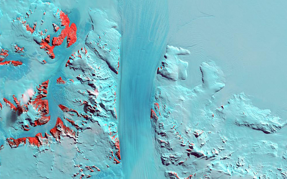
Byrd Glacier, Antarctica, is a 15-mile- (24-kilometer-) wide, 100-mile- (161-kilometer-) long ice stream that plunges through a deep valley in the Transatlantic Mountains and into the Ross Ice Shelf. It moves towards the sea at a rate of about half a mile (0.8 kilometers) per year. This snapshot of the glacier was taken on January 11, 2000.
Credit
Image taken by the Enhanced Thematic Mapper instrument onboard the Landsat-7 satellite. Source: U.S. Geological Survey Landsat Missions Gallery, "Byrd Glacier, Antarctica," U.S. Department of the Interior / USGS.