MULTIMEDIA
Sea of sand
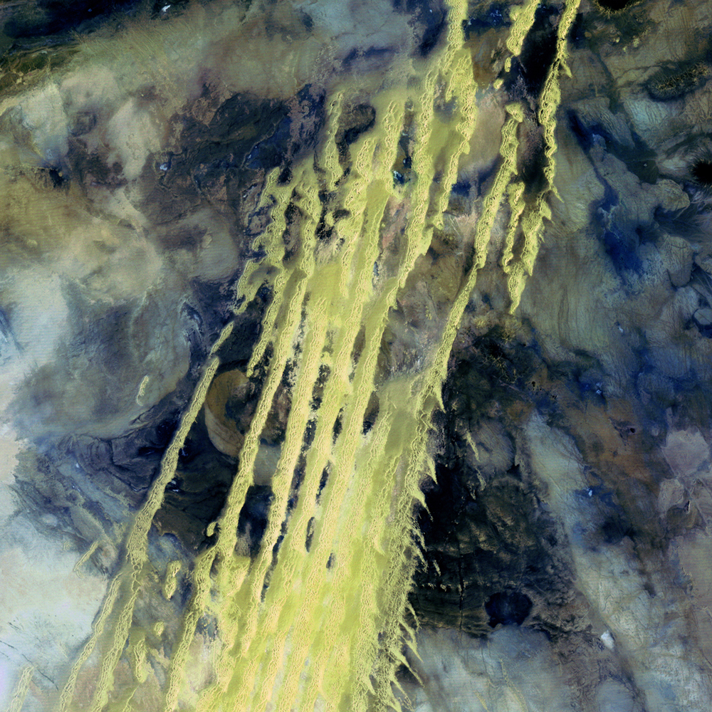
In this image, it’s hard to get a sense of scale or of what we’re actually looking at. This picture, taken by the Landsat-5 satellite on 8 April, 1985, shows sand dunes (yellow streaks) that extend from Algeria into Mauritania in northwest Africa. These wind-blown sand ridges make up Erg Iguidi, one of the Sahara’s ‘sand seas’ in which individual dunes are often more than a third of a mile (500 meters) wide and tall.
Credit
Image taken by the Landsat-5 satellite, a joint mission of NASA and the U.S. Geological Survey (USGS). Credit: USGS/NASA/Landsat-5. Source: NASA Goddard Space Flight Center Flickr page.