Explore our home planet with NASA
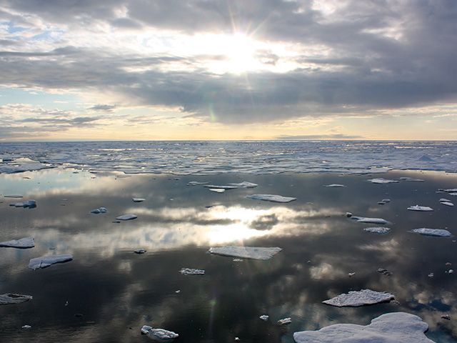
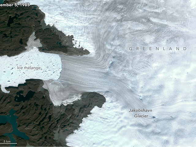
Join NASA Earth scientists for a 360-degree view of our planet as they head into the field to study ice in Greenland and coral reefs in Hawaii. You can stand with scientists on Arctic ice, fly above the ice sheet, glaciers and sea ice as part of Operation IceBridge, then head to Hawaii as scientists with NASA’s CORAL mission dive into Kaneohe Bay.
NASA uses the vantage point of space to study Earth, and our scientists often head into the field to take a closer look.
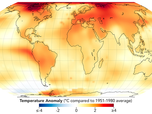
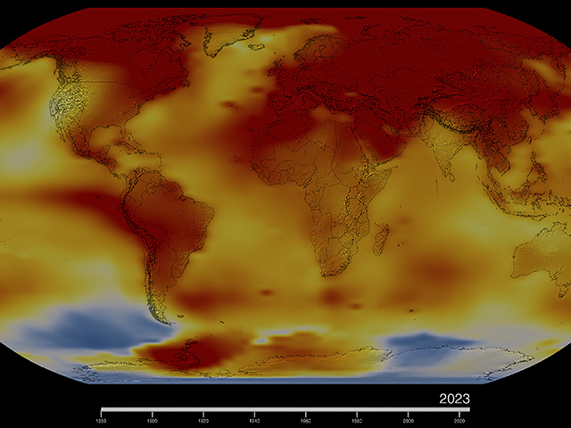
“Life as an Earth scientist means understanding the planet we live on and, especially in the context of climate change, understanding where that planet is headed,” said Joe MacGregor, Operation IceBridge project scientist. Michelle Gierach, CORAL project scientist, agrees. “Clearly, the ocean, the atmosphere, the land, the cryosphere, we’re all connected as an Earth system; we’re all impacting one another,” she said. “We really need to have a better understanding of that inner working.”
More Earth 360 scenes
-
A view from one of our flying laboratories over the ice in Greenland during Operation IceBridge.
View in 360 ›
-
Fly in 360 degrees over Greenland’s graggy glaciers and other ice formations from NASA’s P-3 aircraft.
View in 360 ›
-
Take a 360-degree view of an iceberg and sea ice during Operation IceBridge flights over Greenland.
View in 360 ›


