A World of Data From Space
Webquest #1: Earth Now
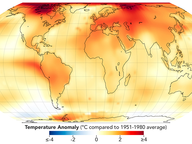
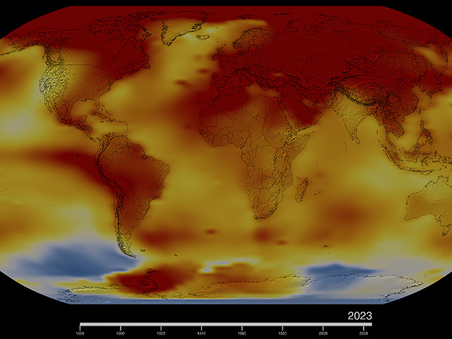
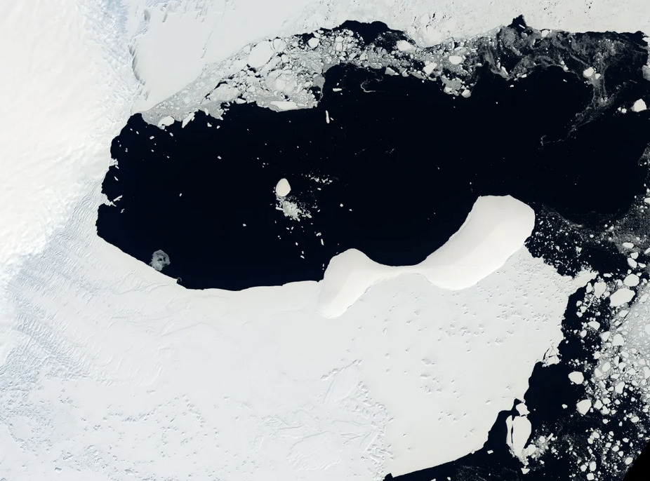
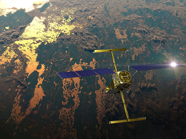
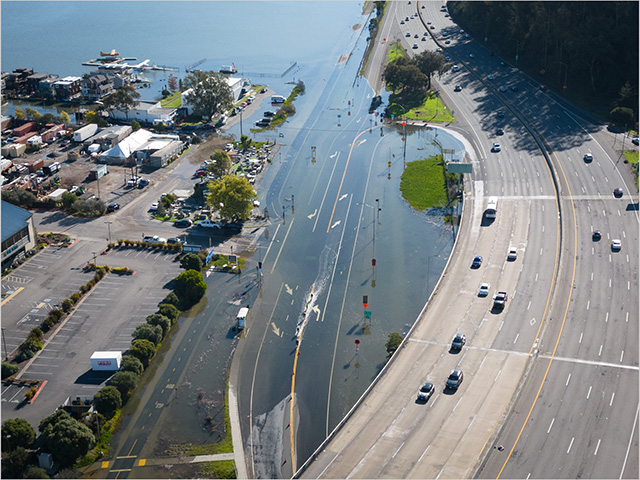
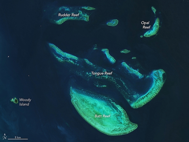
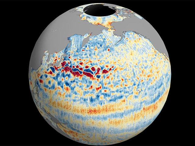
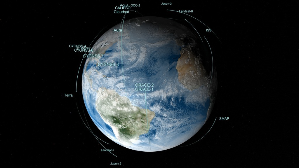
Earth Now is a real-time data visualization of NASA’s Earth-orbiting satellites and the data they collect. Monitor our planet's vital signs, such as sea level height, atmospheric carbon dioxide concentration and Antarctic ozone. Trace the movement of water around the globe using the gravity map from NASA's GRACE satellites. Spot volcanic eruptions and forest fires using the carbon monoxide vital sign. Check out the hottest and coldest locations on Earth with the global surface temperature map. With the “Latest Events” feature, you can explore geo-located satellite images of recent Earth events, including algal blooms, super storms and wildfires.


